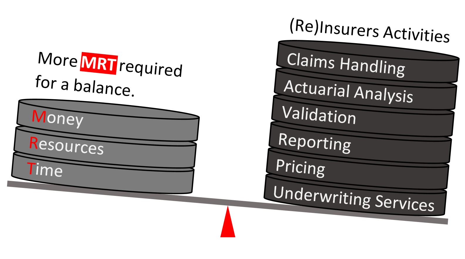
The Solutions and Services we offer
- Catastrophe Modelling;
- Natural;
- Man-made.
- Climate Change Modelling;
- Higher vs. Lower Warming Pathways;
- The next decade of climate risk:
- Weather extremes;
- Exposure growth;
- Vulnerability shifts;
- Inflation driven loss escalation.
- Different Perils (TC, Flood, Drought, Severe Convective Storm, Wildfire) shift in rate and severity.
- Built to meet PRA and Lloyd's expectations for climate related financial risk.
- Risk Assessment;
- Portfolio;
- Policy;
- Location.
- Vendor Model Evaluation & Validation;
- Quantitative Materiality Assessment;
- Independent Model Validation & Assurance Reporting;
- Major Model Change Governance.
- Industry Exposure Data Development;
- Standardized asset classification across sectors;
- High resolution geospatial mapping;
- Peril specific attributes for rate & severity modelling;
- Insurance ready replacement cost estimation.
- Model Innovation;
- Property;
- Casualty;
- Aviation.
- Innovation of Deterministic Scenarios;
- Spatial Analysis & GIS (Arc GIS & Open Source GIS App);
- Map Generation (Google Earth, Python, Arc GIS, HTML);
- Tools Innovation & Development;
- Standard reports - Auto reporting;
- Programming in Python, C#, VBA, SQL, and R;
- Training.